Awnas-Contracting Co

GIS Services

Empowering Infrastructure Planning Through Geospatial Intelligence

Service Overview

Awnas offers specialised Geographic Information Systems (GIS) services to help clients visualise, manage, and analyse spatial data for better infrastructure planning and decision-making. Since 2013, we have supported public agencies and enterprise clients in deploying GIS tools that improve project accuracy, asset tracking, and operational oversight

Scope of Work

Our GIS capabilities include full-cycle support from planning to execution. Core services include:

  • GIS project design, database setup, and data integration
  • Geospatial analysis and mapping for telecom, utility, and civil infrastructure
  • Digitisation of existing assets and site records
  • Custom GIS dashboards, visual layers, and reporting tools
  • GIS training and capacity building for client teams
  • Long-term GIS system support and upgrades
Why Choose Awnas

As a long-term GIS service provider, Awnas knows how to turn data into actionable insights. Our solutions empower clients to plan better, reduce risks, and manage infrastructure assets with confidence. We ensure that each GIS system is customised, scalable, and user-friendly for lasting value.

Latest From Us

Stay informed with the latest news, insights, and project highlights from Awnas. From industry trends to company milestones, we share what is important to our clients and our community.

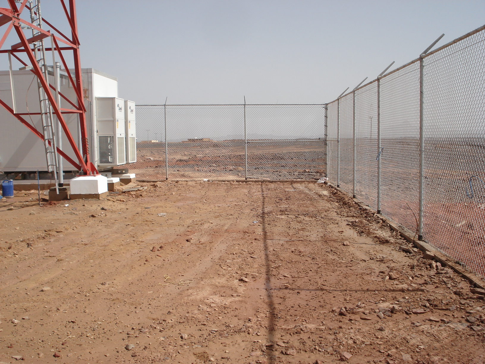
Tawal–Colocation and Upgrade 2022

Tawal announces major upgrades to its colocation infrastructure, enhancing service capabilities and scalability for clients across the region. The 2022 update aims to improve energy efficiency, network speed, and reliability.

Read More »